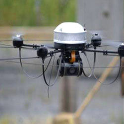
Aerial Drone Mapping Services
Price Trend: 10000.00 - 1000000000.00 INR
Get Latest Price
Minimum Order Quantity :
1
In Stock
Product Specifications
| Camera Type | Digital Camera |
| Sensor Type | CMOS |
| Camera Style | Other |
| Technology | GPS |
| Special Features | Other |
| Remote Control | No |
| Camera Pixels | 20 Megapixel (MP ) |
| Screen Resolution | Ultra HD |
| Image/Video Quality | Ultra HD |
| Power Supply | DC |
| Output Formats | JPG, TIFF, CAD etc |
| File Compatibility | All |
| Payment Terms | Cash on Delivery (COD), Cash Against Delivery (CAD) |
| Sample Available | Yes |
| Main Export Market(s) | Asia |
| Main Domestic Market | All India |
Product Overview
Key Features
We are a humble team of engineers and strategic thinkers who are passionate about helping the Indian community to leverage the use of unmanned systems in their day-to-day industrial activities.
We develop unmanned systems that are being used in Agriculture, Industries and Defense Organisations to reduce human labor, increase efficiency and at the same time reduce operational cost.
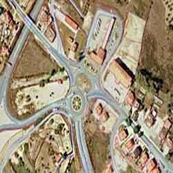
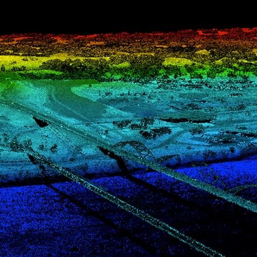
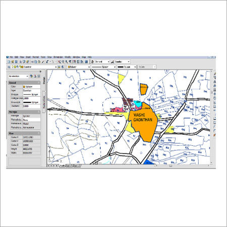
We provide a unique blend of aerial mapping and land planning expertise to produce detailed site assessment, terrain modelling
and hydrology assessment. We also provide roof inspections, aerial photography and filming services in India.
Company Details
Business Type
Service Provider
Employee Count
12
Establishment
2017
Working Days
Monday To Saturday
GST NO
18AALFC9675N1ZG
Related Products
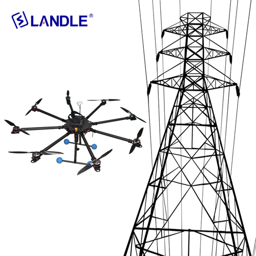
Hypld-8 Uav Unmanned Aerial Vehicle For Power Line Construction Water Proof
Price: 2800 USD ($)
MOQ - 1 Set/Sets
New Landle Technology Co., Ltd.
Jiangsu, Jiangsu Sheng


Wireless Unmanned Aerial Vehicle Surveillance System For Security Agencies Application: Railway Stations
Shoghi Communications Ltd
Shimla, Himachal Pradesh

High Quality Uav Unmanned Aerial Vehicle Lithium Battery Pack 18650 Nominal Voltage: 24 Volt (V)
Price: 9.00 USD ($)
MOQ - 1 Piece/Pieces
Hebei Xin Power New Energy Technology Co.,ltd
Baoding, Hebei

Unmanned Aerial Vehicle Research And Development Service Application: Laboratory
MOQ - 1 Case/Cases
Powerkeep Product Design Company
Zhuhai, Guangdong

Seller Details
GST - 18AALFC9675N1ZG
Guwahati, Assam
Director
Mr. Ankur Bordoloi
Address
Ajanta Path, Bye Lane 1, Beltola, Guwahati, Assam, 781028, India
unmanned aerial vehicle in Guwahati
Report incorrect details